About GIS
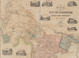
The Geographic Information System (GIS) program has been active in Cambridge, MA since the early 90s. From the very beginning, the team has been focused on providing spatial data and mapping resources to both internal City Staff and the local community.
GIS in Cambridge
A brief overview of the history of GIS in Cambridge, the GIS team and what they are responsible for, and a quick look at the many services GIS offers to both city employees and Cambridge residents
Story Maps Story
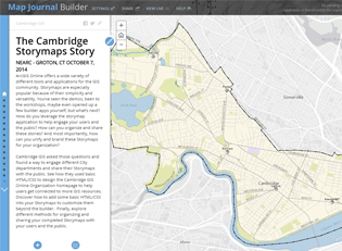
Learn how Cambridge got started with Story Maps and how you can use these maps to learn more about the history, community, and local environment in Cambridge, MA