Interactive Maps
Cambridge GIS Interactive Maps are single themed, interactive mapping tools which allow the user to get detailed information about a unique theme or topic. Here at Cambridge GIS we are always exploring new ways in which we can get our data and maps out to the public. We have some great apps and tools designed to help keep you connected to your community.

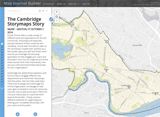
Story Maps
The new ArcGIS Story Map Solution has a fresh look and feel. Check out some of the new Story Maps created by Cambridge City Staff.
Story Map Classics
Cambridge GIS started working with Story Maps back in 2012. Explore the gallery of some of the first story maps in the City.