Ground Plan DXF
GIS File Name 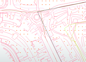
CAMB3D_
[Tile Name (ex: E_2)]_DXF_Groundplan_dxf.zip
Format
DXF
Updated
December 2022
Description
The City of Cambridge Geographic Information System (GIS) City-Wide 3D project provides a detailed three-dimensional model of buildings and bridges has been compiled from many sources over several years. The FBX building model collection provides 3D models for modeling, model transformation, and web visualization. The model collection is segmented into tiles which is contiguous with the City of Boston 3D tile grid. Each model being assigned to the tile that its centroid falls within.
The Tiled CAD datasets provides exports of several layers from the Cambridge GIS Data Dictionary.
Purpose
These tiles are made available for users who want to use design tools to re-mix basemaps or to develop schemes involving altered ground plan features and terrain
Download Tiled Data
View 3D Data Download Map
Sources
These tiled ground plan layers were made with the following city-wide layers available for download from the City of Cambridge GIS. These data sets data were developed photogrammetrically by WSP using aerial photography from an April 12 & April 22, 2018 flyover.
Coordinate System
Massachusetts State Plane, Mainland Zone, NAD83