Bicycle Data
The City of Cambridge uses a variety of data to evaluate bicycling conditions in the city. These data are used to help measure growth, identify issues, determine what is and is not working, and make decisions to improve bicycling conditions for people of all ages and abilities.
Click in the boxes below to learn more about different kinds of bicycle data available.
|
Biking in Cambridge Data Report
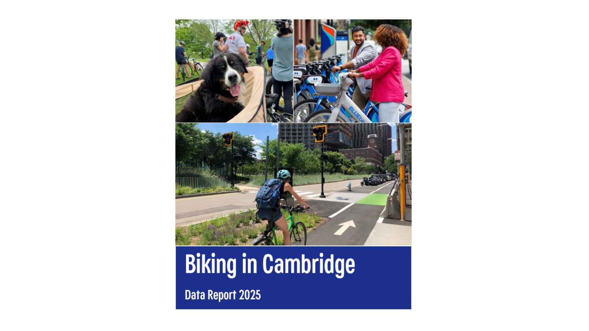
This 2025 Data Report contains updated information and analyses of bike counts, Bluebikes, project spotlights, and safety.
Read the 2023 Data Report.
|
Citywide Bike Counts
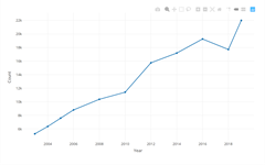
View an interactive data application of the City's regular citywide bike counts. These counts have been collected at intersections throughout the city since 2002. Counts can be viewed as a chart or downloaded as a spreadsheet.
|
|
Bluebikes
System and trip data for Bluebikes, Metro Boston's bike share system.
|
Bicycle Crashes
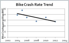
Data and analysis on bicycle crashes in Cambridge.
|
|
Cambridge Bicycle Plan

The Cambridge Bicycle Plan includes detailed information about bicycle counts and trends.
|
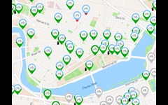
Bike Facilities and Racks GIS Data
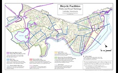
Bike facilities and racks are among the many publicly available Cambridge GIS layers.
|
|
Eco-Totem Bike Counter
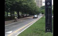
View data from the Eco-Totem bicycle count station on Broadway in Kendall Square, counts cyclists via in-ground loop detectors. Daily counts are available since 2015.
|
Cambridge Open Data
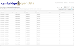
Publicly available data created and maintained by the City of Cambridge.
|
|
Fresh Pond Reservation Counts
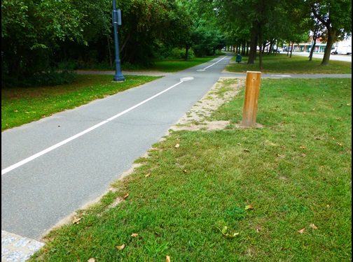
View data from counting sensors throughout Fresh Pond Reservation. Average annual, monthly, and daily counts are available since 2011.
|
Journey to Work
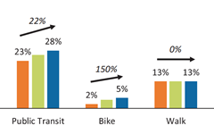
Commuting and mode split data for Cambridge labor force, workforce, and resident workforce.
|
For More Information
For more information, please contact cddat344@cambridgema.gov.